Tony the Tour Guy's Blog

A not very regular series of posts on New York City history, historic preservation, genealogy and related themes.

Friday, September 30, 2005

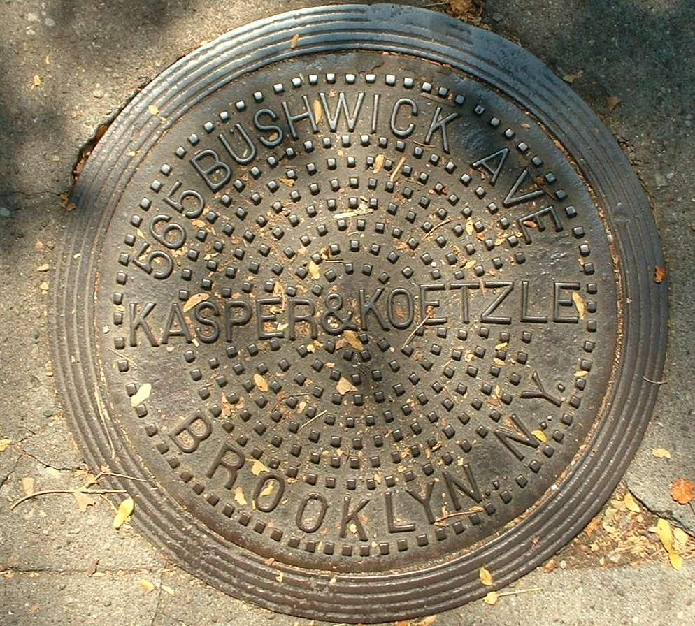
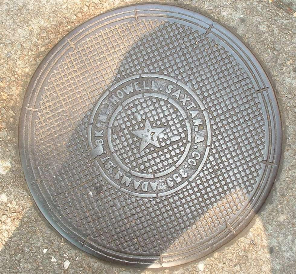
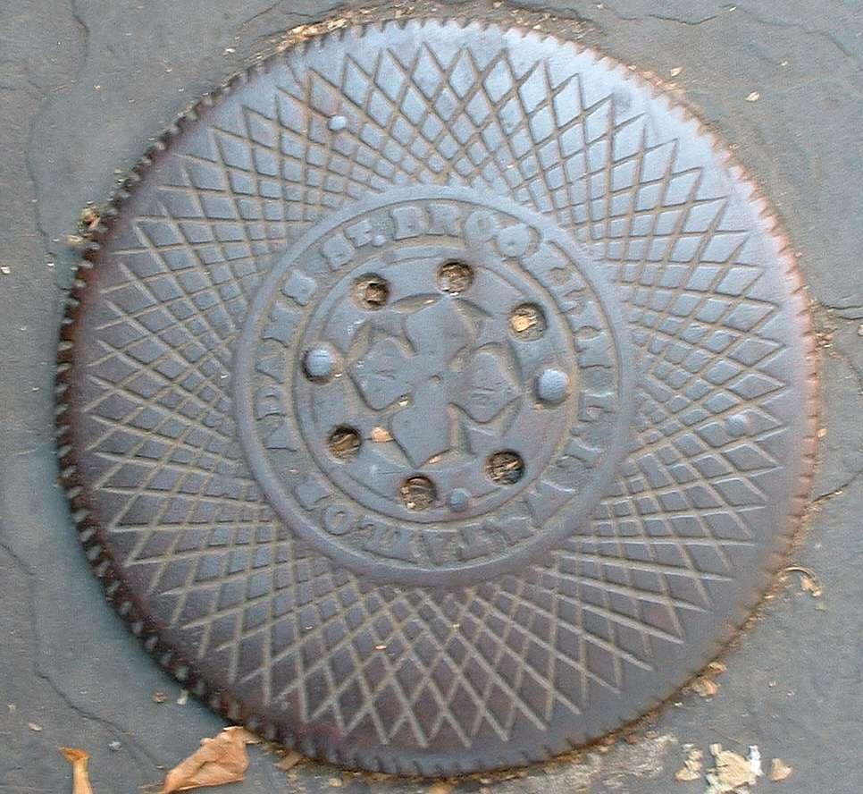
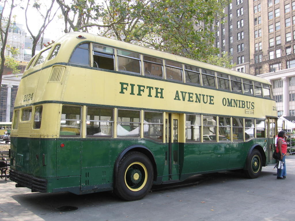
A High-Pressure Fire Pumping Station


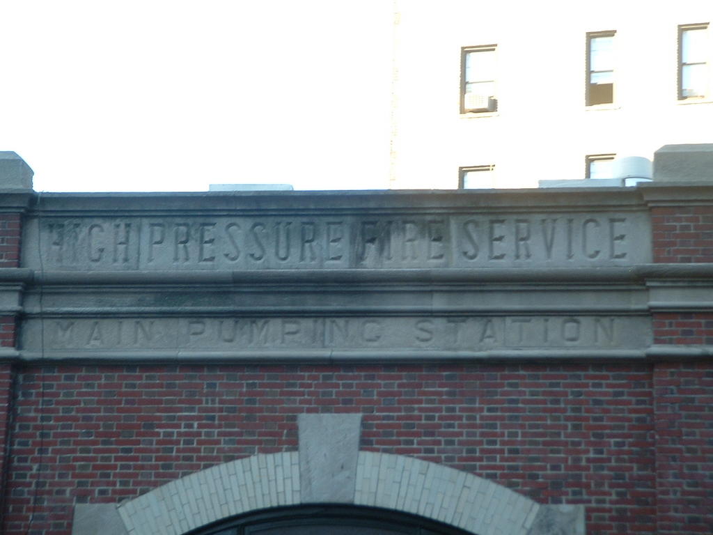
In the past not all fire hydrants were created equal. Some were connected to a special high pressure water system maintained by the FDNY for major fires.

The High Pressure Fire Service had its own pumping stations. This one, now a private home, is located at the foot of Joralemon Street in Brooklyn Heights.

Brownstone Brooklyn Coal Chute Covers


There has become considerable interest lately in the preservation and study of the many different styles of manhole covers to be found on our streets. I think it's time to do the same with coal chute covers. These photos were all taken in the Brooklyn Heights area, mostly on Hicks and Henry Streets.

Just about all brownstones were built in the 19th Century, and were initially heated by coal. In front of each house was a coal chute decorated with the name of the company which supplied the fuel, typically via horse cart. The designs on these covers were not simply decorative; they provided traction so that pedestrians did not slip on them during wet weather.

The bottom photo is of a chute cover owned by the W Taylor company of "Brooklyn, LI." Here is an intact example of a pre-Consolidation address, from when Brooklyn was a separate city.

Monday, September 19, 2005

Double-Decker NYC Busses!


Here are some vintage double-decker NYC busses. The photos were taken by my fellow transit fan Ben at the Transit Museum's 2005 Bus Fest. Note that some of these busses bore the markings of private bus companies, which used to provide much of the transit in Manhattan and the Bronx.

Sunday, September 11, 2005

Views of Hoffman and Swinburne Islands


Off the coast of Staten Island, roughly parallel to South Beach, lie two man-made islands, now inhabited only by wildlife. Hoffman (the larger) and Swinburne Islands were constructed from landfill and opened in 1872 as a quarantine station for immigrants with contagious diseases. Following the closure of the hospitals the Coast Guard used them for a brief period, and now they are Federal park property.

The hightest view here shows the location of the two islands, between South Beach, Staten Island, and Norton Point, which is the tip of Coney Island.

These pictures came from Google Earth, who allow personal use of them on blogs. Check with Google on copyright restrictions.

Thursday, September 01, 2005

A Combination German Menu/Dictionary


This pamphlet came from the long-gone Steuben Tavern on West 47 Street, circa 1956. What a great idea - a brochure to help patrons pronounce their favorite foods. Can you imagine one in a Vietnamese place?